Demolition Orders against Palestinian Structures in Area C – Israeli Civil Administration data

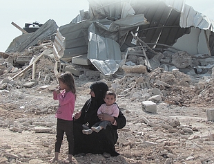
The Israeli authorities’ destruction of Palestinian-owned structures in Area C of the West Bank on grounds of lack of building permits is preceded by the issuance of demolition orders. Together with other policies and practices, the threat of destruction of homes and sources of livelihood represented by these demolition orders, contributes to the generation of a coercive environment pressuring people to leave their areas of residence.
This interactive web-based platform presents a dataset obtained from the Israeli Civil Administration* on all the demolition orders it has issued in Area C since 1988. It enables users to visualize/map such orders based on various indicators, including year, status, governorate, residential area, geographical area, etc.
* The dataset was obtained by the Israeli NGO Bimkom – Planners for Planning Rights, based on the Israeli Freedom of Information Act.
Data covering January 1988 – June 2022
Clarifications
- The data reflected in the dashboards is entirely based on a dataset provided by the Israeli Civil Administration (ICA), and OCHA cannot confirm its accuracy.
- All the years referred to in the dashboards are the years in which the demolition orders were issued, not the year of execution, which was not consistently available in the ICA dataset.
- Demolition orders often apply to a number of structures, therefore figures cannot be compared with other OCHA datasets using “structures” as the measuring unit.
- The data does not include seizure and requisition orders issued against Palestinian-owned structures on grounds of lack of permits.
- The dots on the map do not represent the exact location of each demolition order but rather the closest community centre.


