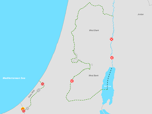
This interactive map visualizes large amounts of data and conveys information in a way that is more powerful compared to static maps. It allows users to customize the visualization of data collected by OCHA from different sources, including global datasets and baseline information such as Open Street Maps or Google Maps. Users can zoom into specific areas, display layers of their choice, change the background and export the final product to be used as a customized static map.